Varteg Community Centre, Varteg
Introduction
The photograph on this page of Varteg Community Centre, Varteg by Jaggery as part of the Geograph project.
The Geograph project started in 2005 with the aim of publishing, organising and preserving representative images for every square kilometre of Great Britain, Ireland and the Isle of Man.

There are currently over 7.5m images from over 14,400 individuals and you can help contribute to the project by visiting https://www.geograph.org.uk
Varteg Community Centre, Varteg
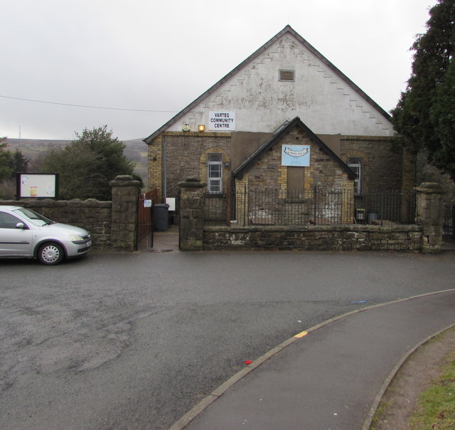
Image: © Jaggery Taken: 15 Mar 2018
Located in the former Varteg Methodist Chapel which was built in 1824, rebuilt in 1868. https://www.geograph.org.uk/photo/5711458
Images are licensed for reuse under creativecommons.org/licenses/by-sa/2.0
Image Location
Latitude
51.746612
Longitude
-3.06443