Holly Lane near Atherstone in Warwickshire
Introduction
The photograph on this page of Holly Lane near Atherstone in Warwickshire by Roger D Kidd as part of the Geograph project.
The Geograph project started in 2005 with the aim of publishing, organising and preserving representative images for every square kilometre of Great Britain, Ireland and the Isle of Man.

There are currently over 7.5m images from over 14,400 individuals and you can help contribute to the project by visiting https://www.geograph.org.uk
Holly Lane near Atherstone in Warwickshire
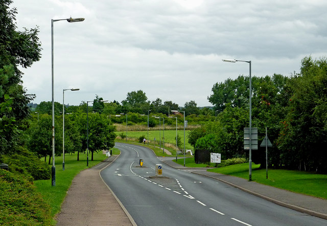
Image: © Roger D Kidd Taken: 19 Aug 2013
Looking north-east towards Ashby-de-la-Zouch, this is the B4116 Holly Lane. The telephoto lens exaggerates the bends in the road.
Images are licensed for reuse under creativecommons.org/licenses/by-sa/2.0
Image Location
Latitude
52.584915
Longitude
-1.555998