Windmill Farm - The Windmill
Introduction
The photograph on this page of Windmill Farm - The Windmill by David Dixon as part of the Geograph project.
The Geograph project started in 2005 with the aim of publishing, organising and preserving representative images for every square kilometre of Great Britain, Ireland and the Isle of Man.

There are currently over 7.5m images from over 14,400 individuals and you can help contribute to the project by visiting https://www.geograph.org.uk
Windmill Farm - The Windmill
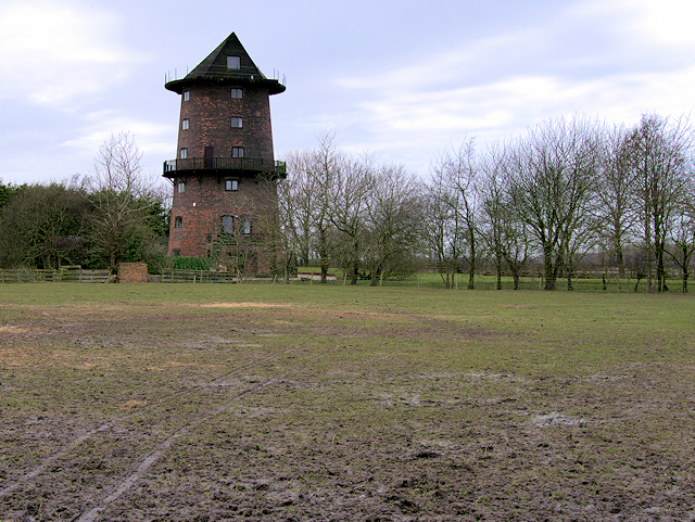
Image: © David Dixon Taken: 11 Mar 2018
The former windmill (now converted for residential use), after which the farm is named, is a prominent feature in the predominantly flat landscape of the area.
Images are licensed for reuse under creativecommons.org/licenses/by-sa/2.0
Image Location
Latitude
53.633666
Longitude
-2.869982