A342 junction, Chirton
Introduction
The photograph on this page of A342 junction, Chirton by Robin Webster as part of the Geograph project.
The Geograph project started in 2005 with the aim of publishing, organising and preserving representative images for every square kilometre of Great Britain, Ireland and the Isle of Man.

There are currently over 7.5m images from over 14,400 individuals and you can help contribute to the project by visiting https://www.geograph.org.uk
A342 junction, Chirton
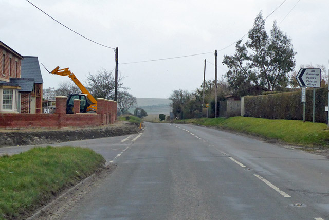
Image: © Robin Webster Taken: 17 Mar 2018
Most of the village is down the left turn. The building work is for a residential conversion of a former pub, the Wiltshire Yeoman.
Images are licensed for reuse under creativecommons.org/licenses/by-sa/2.0
Image Location
Latitude
51.311707
Longitude
-1.894786