No 484 Upper Newtownards Road, Belfast (March 2018)
Introduction
The photograph on this page of No 484 Upper Newtownards Road, Belfast (March 2018) by Albert Bridge as part of the Geograph project.
The Geograph project started in 2005 with the aim of publishing, organising and preserving representative images for every square kilometre of Great Britain, Ireland and the Isle of Man.

There are currently over 7.5m images from over 14,400 individuals and you can help contribute to the project by visiting https://www.geograph.org.uk
No 484 Upper Newtownards Road, Belfast (March 2018)
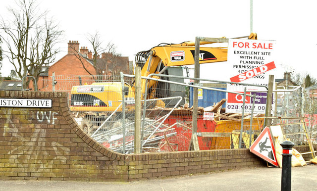
Image: © Albert Bridge Taken: 18 Mar 2018
The agents’ board shows that this long-vacant site, at the corner of Ormiston Drive, has now been sold. The machinery has no connection with the development of the site - currently used for temporary storage.
Images are licensed for reuse under creativecommons.org/licenses/by-sa/2.0
Image Location
Latitude
54.594805
Longitude
-5.857783