
Hanford: ascent of Hod Hill
Introduction
The photograph on this page of Hanford: ascent of Hod Hill by Chris Downer as part of the Geograph project.
The Geograph project started in 2005 with the aim of publishing, organising and preserving representative images for every square kilometre of Great Britain, Ireland and the Isle of Man.

There are currently over 7.5m images from over 14,400 individuals and you can help contribute to the project by visiting https://www.geograph.org.uk
Hanford: ascent of Hod Hill
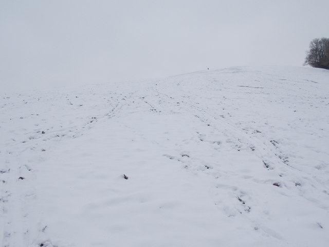
Image: © Chris Downer Taken: 18 Mar 2018
The bridleway up Hod Hill, I now see from the map, runs along the right-hand edge of this field but I headed diagonally up, the direction indicated by a signpost, as the route could not easily be followed under snow! The faint join between the snowy hillside and the leaden sky is helped by the landmark of a man standing towards the top right. He is about three quarters of the way up from the roadside to the summit ramparts.
Images are licensed for reuse under creativecommons.org/licenses/by-sa/2.0
Image Location

Latitude
50.89883
Longitude
-2.209123