Pinxton Wharf
Introduction
The photograph on this page of Pinxton Wharf by Nick Leverton as part of the Geograph project.
The Geograph project started in 2005 with the aim of publishing, organising and preserving representative images for every square kilometre of Great Britain, Ireland and the Isle of Man.

There are currently over 7.5m images from over 14,400 individuals and you can help contribute to the project by visiting https://www.geograph.org.uk
Pinxton Wharf
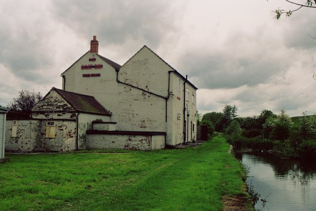
Image: © Nick Leverton Taken: Unknown
Not just another pub geograph! Pinxton Wharf is the northern terminus of the Cromford Canal http://www.cromfordcanal.org.uk/ , which opened up local coalfields and Pinxton porcelain to a wide market via the Erewash Canal. From here, an early railway (the Mansfield and Pinxton) was opened in 1819 to connect Mansfield with the canal system. Tickets to travel on the horse drawn line could be bought at the Boat Inn.
Images are licensed for reuse under creativecommons.org/licenses/by-sa/2.0
Image Location


Leaflet Map data © OpenStreetMap
Latitude
53.085786
Longitude
-1.322133