Houses, Parliament Place, Winchester
Introduction
The photograph on this page of Houses, Parliament Place, Winchester by Robin Webster as part of the Geograph project.
The Geograph project started in 2005 with the aim of publishing, organising and preserving representative images for every square kilometre of Great Britain, Ireland and the Isle of Man.

There are currently over 7.5m images from over 14,400 individuals and you can help contribute to the project by visiting https://www.geograph.org.uk
Houses, Parliament Place, Winchester
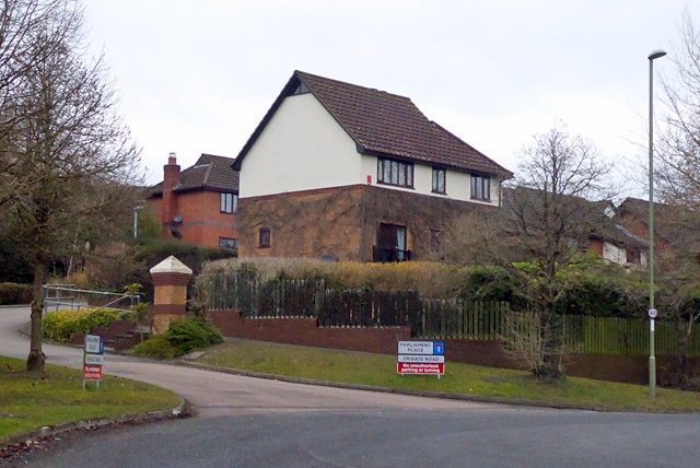
Image: © Robin Webster Taken: 17 Mar 2018
This development is close to Oliver Cromwell's Battery, so the road name derives from the Parliamentarians he led.
Images are licensed for reuse under creativecommons.org/licenses/by-sa/2.0
Image Location
Latitude
51.04645
Longitude
-1.344041