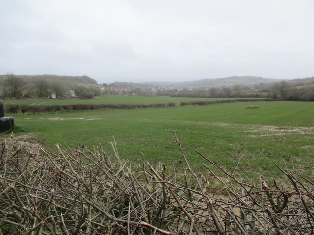
Waterlogged fields, Vearse Farm
Introduction
The photograph on this page of Waterlogged fields, Vearse Farm by John Stephen as part of the Geograph project.
The Geograph project started in 2005 with the aim of publishing, organising and preserving representative images for every square kilometre of Great Britain, Ireland and the Isle of Man.
There are currently over 7.5m images from over 14,400 individuals and you can help contribute to the project by visiting https://www.geograph.org.uk

Image: © John Stephen Taken: 15 Mar 2018
View towards Bridport. This waterlogged land is south of the B3162 West Allington and will be part of the Vearse Farm development of 760 dwellings, employment units, shops, a pub, school and old people's home. The plan is currently in the detailed design stages, and was agreed in principle by the West Dorset District Council despite vehement opposition from the local town and parish councils and population. One of the many objections raised was that of flooding and water run off.

