Heavitree church: the south-east corner
Introduction
The photograph on this page of Heavitree church: the south-east corner by David Smith as part of the Geograph project.
The Geograph project started in 2005 with the aim of publishing, organising and preserving representative images for every square kilometre of Great Britain, Ireland and the Isle of Man.

There are currently over 7.5m images from over 14,400 individuals and you can help contribute to the project by visiting https://www.geograph.org.uk
Heavitree church: the south-east corner
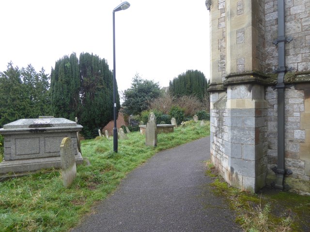
Image: © David Smith Taken: 12 Mar 2018
The path runs round the south side and the graveyard drops away to the south of St Michael and all Angels church. On the upright buttress to the right is an OS benchmark Image (ODN 44.5282m, AGL 0.4m)
Images are licensed for reuse under creativecommons.org/licenses/by-sa/2.0
Image Location
Latitude
50.720133
Longitude
-3.506365