Road and path junction in Madeley
Introduction
The photograph on this page of Road and path junction in Madeley by Jonathan Hutchins as part of the Geograph project.
The Geograph project started in 2005 with the aim of publishing, organising and preserving representative images for every square kilometre of Great Britain, Ireland and the Isle of Man.

There are currently over 7.5m images from over 14,400 individuals and you can help contribute to the project by visiting https://www.geograph.org.uk
Road and path junction in Madeley
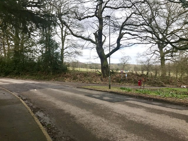
Image: © Jonathan Hutchins Taken: 16 Mar 2018
Heighley Castle Way bears away to the left. Both roads are routes of public footpaths.
Images are licensed for reuse under creativecommons.org/licenses/by-sa/2.0
Image Location
Latitude
53.006782
Longitude
-2.337804