Buildings in Kildare Street viewed from Sugar Island Bridge
Introduction
The photograph on this page of Buildings in Kildare Street viewed from Sugar Island Bridge by Eric Jones as part of the Geograph project.
The Geograph project started in 2005 with the aim of publishing, organising and preserving representative images for every square kilometre of Great Britain, Ireland and the Isle of Man.

There are currently over 7.5m images from over 14,400 individuals and you can help contribute to the project by visiting https://www.geograph.org.uk
Buildings in Kildare Street viewed from Sugar Island Bridge
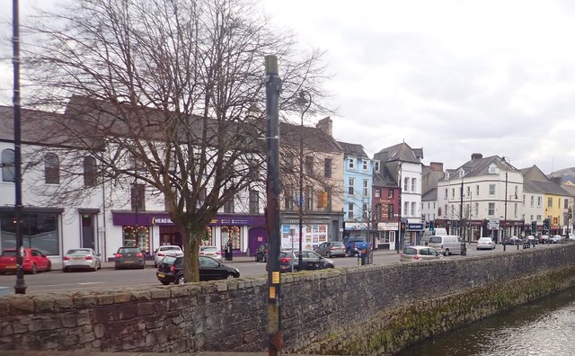
Image: © Eric Jones Taken: 13 Mar 2018
The river in the foreground is the Clanrye or Newry River.
Images are licensed for reuse under creativecommons.org/licenses/by-sa/2.0
Image Location
Latitude
54.177362
Longitude
-6.336634