Houses at Edginswell
Introduction
The photograph on this page of Houses at Edginswell by Derek Harper as part of the Geograph project.
The Geograph project started in 2005 with the aim of publishing, organising and preserving representative images for every square kilometre of Great Britain, Ireland and the Isle of Man.

There are currently over 7.5m images from over 14,400 individuals and you can help contribute to the project by visiting https://www.geograph.org.uk
Houses at Edginswell
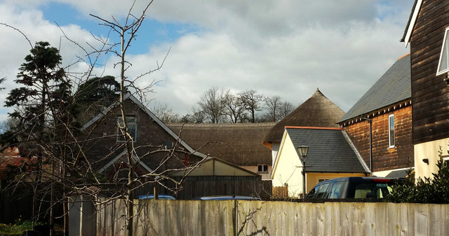
Image: © Derek Harper Taken: 13 Mar 2018
Beyond the modern houses in the foreground is the now converted farmyard whose buildings appear at http://www.geograph.org.uk/search.php?i=82339597 .
Images are licensed for reuse under creativecommons.org/licenses/by-sa/2.0
Image Location
Latitude
50.484126
Longitude
-3.569045