The road to Swindon
Introduction
The photograph on this page of The road to Swindon by Michael Dibb as part of the Geograph project.
The Geograph project started in 2005 with the aim of publishing, organising and preserving representative images for every square kilometre of Great Britain, Ireland and the Isle of Man.

There are currently over 7.5m images from over 14,400 individuals and you can help contribute to the project by visiting https://www.geograph.org.uk
The road to Swindon
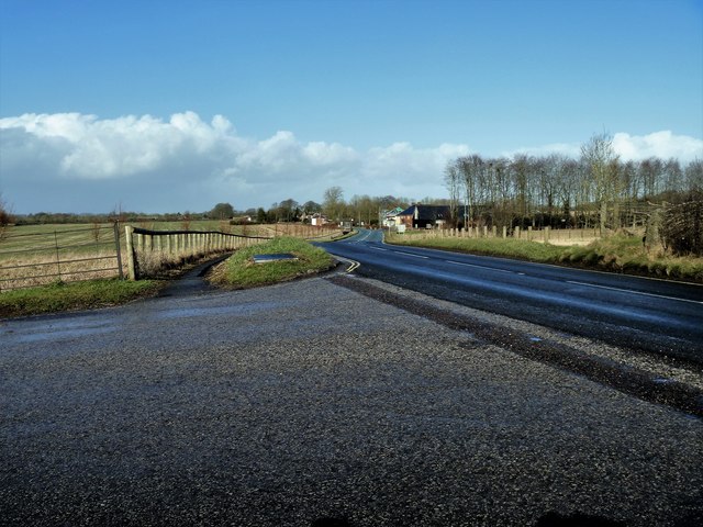
Image: © Michael Dibb Taken: 15 Feb 2018
The A4361 road across the downs to Swindon. Seen from near the entrance to Avebury Manor.
Images are licensed for reuse under creativecommons.org/licenses/by-sa/2.0
Image Location


Leaflet Map data © OpenStreetMap
Latitude
51.434131
Longitude
-1.85509