Parochial House of Church of the Sacred Heart in the parish of Cloghogue (Killeavey Upper)
Introduction
The photograph on this page of Parochial House of Church of the Sacred Heart in the parish of Cloghogue (Killeavey Upper) by Eric Jones as part of the Geograph project.
The Geograph project started in 2005 with the aim of publishing, organising and preserving representative images for every square kilometre of Great Britain, Ireland and the Isle of Man.

There are currently over 7.5m images from over 14,400 individuals and you can help contribute to the project by visiting https://www.geograph.org.uk
Parochial House of Church of the Sacred Heart in the parish of Cloghogue (Killeavey Upper)
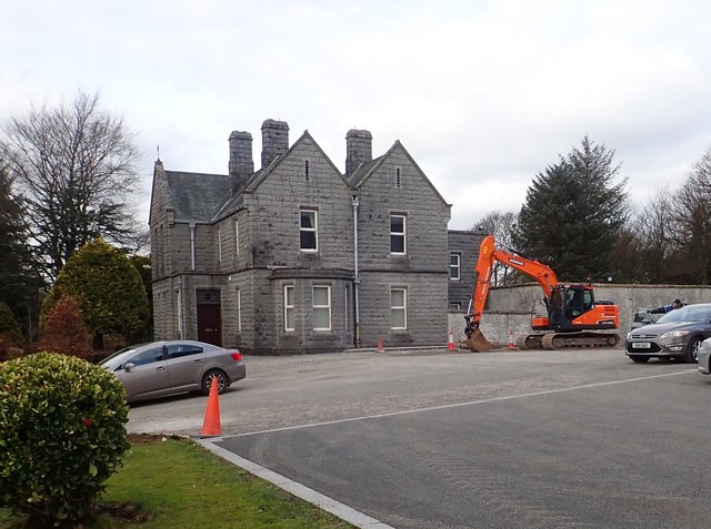
Image: © Eric Jones Taken: 13 Mar 2018
The house is located in the church's extensive grounds.
Images are licensed for reuse under creativecommons.org/licenses/by-sa/2.0
Image Location
Latitude
54.15304
Longitude
-6.34511