Path around the edge of King's Park
Introduction
The photograph on this page of Path around the edge of King's Park by Lairich Rig as part of the Geograph project.
The Geograph project started in 2005 with the aim of publishing, organising and preserving representative images for every square kilometre of Great Britain, Ireland and the Isle of Man.

There are currently over 7.5m images from over 14,400 individuals and you can help contribute to the project by visiting https://www.geograph.org.uk
Path around the edge of King's Park
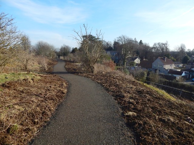
Image: © Lairich Rig Taken: 24 Feb 2018
This is a visible reminder that the park has an escarpment(*) on all sides but the east, although it rapidly loses height alongside this part of the path. A large building seen indistinctly near the centre of the picture is Laurel House. (*) For the escarpment, see, for example, Image (north), Image (west), and Image (south). For the geological reason, see Image
Images are licensed for reuse under creativecommons.org/licenses/by-sa/2.0
Image Location
Latitude
56.111878
Longitude
-3.951739