Pullman Crescent (under construction)
Introduction
The photograph on this page of Pullman Crescent (under construction) by Mark Anderson as part of the Geograph project.
The Geograph project started in 2005 with the aim of publishing, organising and preserving representative images for every square kilometre of Great Britain, Ireland and the Isle of Man.

There are currently over 7.5m images from over 14,400 individuals and you can help contribute to the project by visiting https://www.geograph.org.uk
Pullman Crescent (under construction)
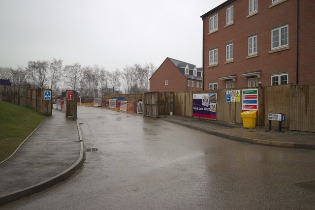
Image: © Mark Anderson Taken: 15 Mar 2018
Part of the Royds Lane Mount housing development. The road follows the route of a disused railway line.
Images are licensed for reuse under creativecommons.org/licenses/by-sa/2.0
Image Location
Latitude
53.777513
Longitude
-1.590405