St Bartholomew's Church, Lostwithiel
Introduction
The photograph on this page of St Bartholomew's Church, Lostwithiel by Eirian Evans as part of the Geograph project.
The Geograph project started in 2005 with the aim of publishing, organising and preserving representative images for every square kilometre of Great Britain, Ireland and the Isle of Man.

There are currently over 7.5m images from over 14,400 individuals and you can help contribute to the project by visiting https://www.geograph.org.uk
St Bartholomew's Church, Lostwithiel
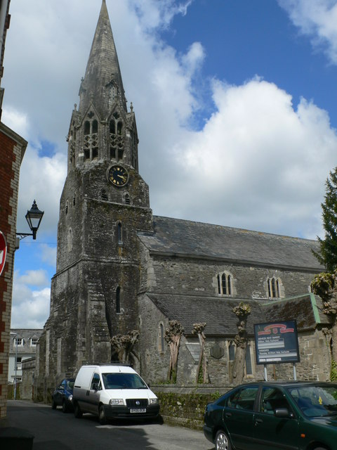
Image: © Eirian Evans Taken: 15 May 2013
Grade I listed Parish Church. C13 tower, spire of early C14, the rest of later C14.
Images are licensed for reuse under creativecommons.org/licenses/by-sa/2.0
Image Location


Leaflet Map data © OpenStreetMap
Latitude
50.40733
Longitude
-4.669071