The Red Lion Inn seen across Royal Lane
Introduction
The photograph on this page of The Red Lion Inn seen across Royal Lane by Marathon as part of the Geograph project.
The Geograph project started in 2005 with the aim of publishing, organising and preserving representative images for every square kilometre of Great Britain, Ireland and the Isle of Man.

There are currently over 7.5m images from over 14,400 individuals and you can help contribute to the project by visiting https://www.geograph.org.uk
The Red Lion Inn seen across Royal Lane
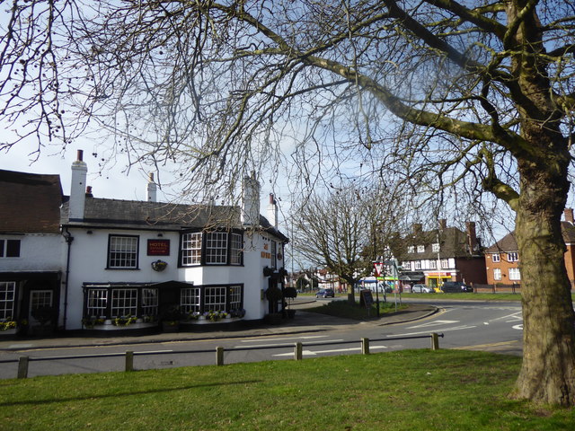
Image: © Marathon Taken: 14 Mar 2018
The Red Lion Inn must once have been at the core of the old village of Hillingdon with St John the Baptist Church on the other side of Royal Lane, behind where I am standing - see http://www.geograph.org.uk/photo/5707196 Unfortunately any vestige of a village has been destroyed by Uxbridge Road and the shops which can be seen to the right.
Images are licensed for reuse under creativecommons.org/licenses/by-sa/2.0
Image Location
Latitude
51.534909
Longitude
-0.461309