Houses near Burry Port Library
Introduction
The photograph on this page of Houses near Burry Port Library by Jaggery as part of the Geograph project.
The Geograph project started in 2005 with the aim of publishing, organising and preserving representative images for every square kilometre of Great Britain, Ireland and the Isle of Man.

There are currently over 7.5m images from over 14,400 individuals and you can help contribute to the project by visiting https://www.geograph.org.uk
Houses near Burry Port Library
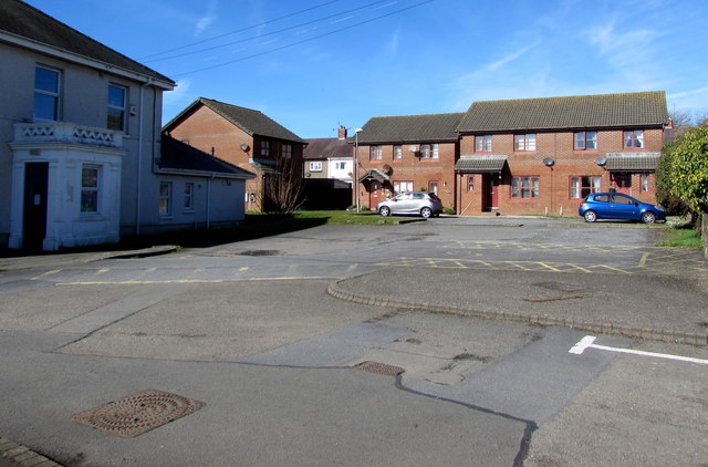
Image: © Jaggery Taken: 13 Mar 2018
The houses are set back 35 metres from the western end of Carway Street. The library is on the left. https://www.geograph.org.uk/photo/5706752
Images are licensed for reuse under creativecommons.org/licenses/by-sa/2.0
Image Location
Latitude
51.684937
Longitude
-4.253987