Footpath by the Caul Bourne
Introduction
The photograph on this page of Footpath by the Caul Bourne by Graham Horn as part of the Geograph project.
The Geograph project started in 2005 with the aim of publishing, organising and preserving representative images for every square kilometre of Great Britain, Ireland and the Isle of Man.

There are currently over 7.5m images from over 14,400 individuals and you can help contribute to the project by visiting https://www.geograph.org.uk
Footpath by the Caul Bourne
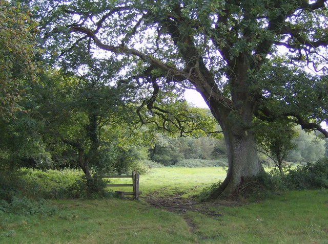
Image: © Graham Horn Taken: 30 Sep 2007
The Caul Bourne runs to the left. Interestingly, the village where it rises is called Calbourne, one word and without the "u". A footpath from Shalfleet to Newbridge follows the bourne along successive pasture fields such as here.
Images are licensed for reuse under creativecommons.org/licenses/by-sa/2.0
Image Location
Latitude
50.693684
Longitude
-1.413815