Catholic Church this way, Burry Port
Introduction
The photograph on this page of Catholic Church this way, Burry Port by Jaggery as part of the Geograph project.
The Geograph project started in 2005 with the aim of publishing, organising and preserving representative images for every square kilometre of Great Britain, Ireland and the Isle of Man.

There are currently over 7.5m images from over 14,400 individuals and you can help contribute to the project by visiting https://www.geograph.org.uk
Catholic Church this way, Burry Port
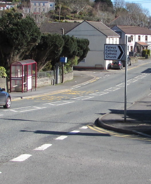
Image: © Jaggery Taken: 13 Mar 2018
The sign on the corner of Colby Road points south along Pencoed Road towards Our Lady Star of the Sea Catholic Church. https://www.geograph.org.uk/photo/5705631 The sign's text is also in Welsh.
Images are licensed for reuse under creativecommons.org/licenses/by-sa/2.0
Image Location
Latitude
51.690036
Longitude
-4.245993