Burton Row, Hunslet Moor
Introduction
The photograph on this page of Burton Row, Hunslet Moor by Stephen Craven as part of the Geograph project.
The Geograph project started in 2005 with the aim of publishing, organising and preserving representative images for every square kilometre of Great Britain, Ireland and the Isle of Man.

There are currently over 7.5m images from over 14,400 individuals and you can help contribute to the project by visiting https://www.geograph.org.uk
Burton Row, Hunslet Moor
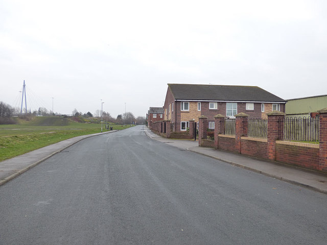
Image: © Stephen Craven Taken: 10 Mar 2018
The road was probably set out in the 1930s, as the housing on the terraced streets further along is from that period. Hunslet Moor (left) was once a much more extensive open space, but severely reduced in area by the arrival of the motorway (M1, now M621) in the 1970s.
Images are licensed for reuse under creativecommons.org/licenses/by-sa/2.0
Image Location
Latitude
53.77904
Longitude
-1.540464