Bryants Bottom
Introduction
The photograph on this page of Bryants Bottom by Des Blenkinsopp as part of the Geograph project.
The Geograph project started in 2005 with the aim of publishing, organising and preserving representative images for every square kilometre of Great Britain, Ireland and the Isle of Man.

There are currently over 7.5m images from over 14,400 individuals and you can help contribute to the project by visiting https://www.geograph.org.uk
Bryants Bottom
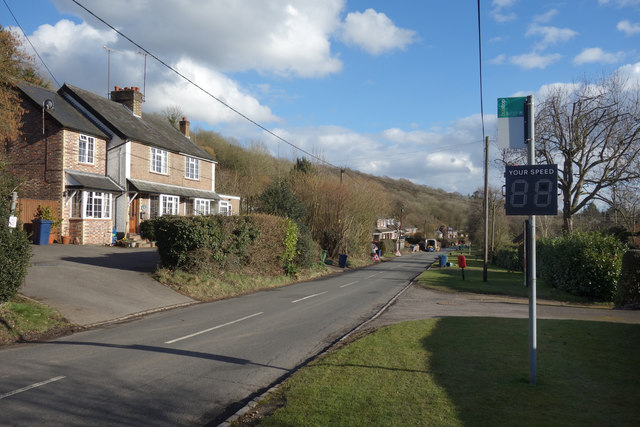
Image: © Des Blenkinsopp Taken: 7 Mar 2018
Village and valley share the name. A linear community of houses along the road through the valley. The speed sign seems to show up very well for some reason. 88 along here would be slightly risky.
Images are licensed for reuse under creativecommons.org/licenses/by-sa/2.0
Image Location
Latitude
51.690383
Longitude
-0.766371