Longroyd this and that
Introduction
The photograph on this page of Longroyd this and that by Alan Murray-Rust as part of the Geograph project.
The Geograph project started in 2005 with the aim of publishing, organising and preserving representative images for every square kilometre of Great Britain, Ireland and the Isle of Man.

There are currently over 7.5m images from over 14,400 individuals and you can help contribute to the project by visiting https://www.geograph.org.uk
Longroyd this and that
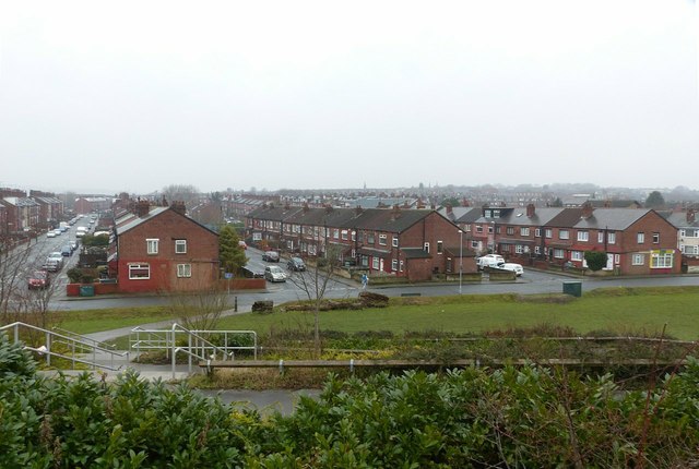
Image: © Alan Murray-Rust Taken: 10 Mar 2018
All the streets in this view are named "Longroyd something" (St/Ave/etc.). The houses must be among the last true back-to-back houses built in Britain, as many of them do not appear on the 1919 revision of the 1:2500 OS map (although the road layout had been established by this stage).
Images are licensed for reuse under creativecommons.org/licenses/by-sa/2.0
Image Location
Latitude
53.778588
Longitude
-1.539711