Down my alley
Introduction
The photograph on this page of Down my alley by Jeff Gogarty as part of the Geograph project.
The Geograph project started in 2005 with the aim of publishing, organising and preserving representative images for every square kilometre of Great Britain, Ireland and the Isle of Man.

There are currently over 7.5m images from over 14,400 individuals and you can help contribute to the project by visiting https://www.geograph.org.uk
Down my alley
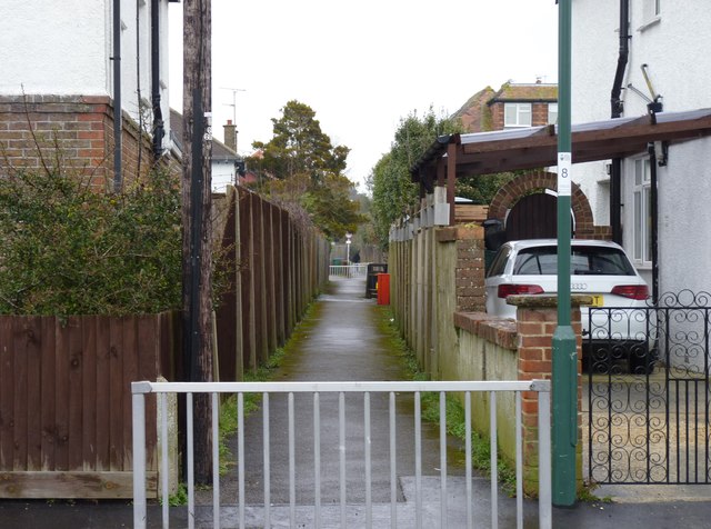
Image: © Jeff Gogarty Taken: 10 Mar 2018
A public footpath cuts through from the Aldwick area of Bognor to Linden Road and the Cemetery, This photograph is where it connects the two branches of Marshall Avenue.
Images are licensed for reuse under creativecommons.org/licenses/by-sa/2.0
Image Location
Latitude
50.787211
Longitude
-0.685452