Under the arch
Introduction
The photograph on this page of Under the arch by DS Pugh as part of the Geograph project.
The Geograph project started in 2005 with the aim of publishing, organising and preserving representative images for every square kilometre of Great Britain, Ireland and the Isle of Man.

There are currently over 7.5m images from over 14,400 individuals and you can help contribute to the project by visiting https://www.geograph.org.uk
Under the arch
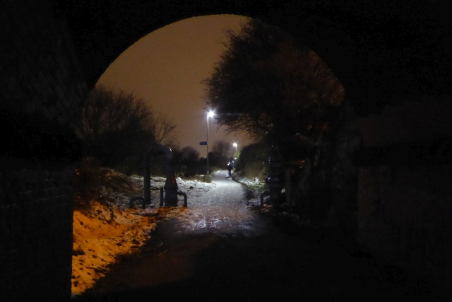
Image: © DS Pugh Taken: 3 Mar 2018
Looking along cycle route 66 in Tang Hall.
Images are licensed for reuse under creativecommons.org/licenses/by-sa/2.0
Image Location
Latitude
53.959708
Longitude
-1.051231