Residential dwellings, Crockham Farm, Crockham Lane
Introduction
The photograph on this page of Residential dwellings, Crockham Farm, Crockham Lane by John Baker as part of the Geograph project.
The Geograph project started in 2005 with the aim of publishing, organising and preserving representative images for every square kilometre of Great Britain, Ireland and the Isle of Man.

There are currently over 7.5m images from over 14,400 individuals and you can help contribute to the project by visiting https://www.geograph.org.uk
Residential dwellings, Crockham Farm, Crockham Lane
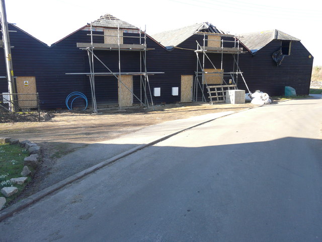
Image: © John Baker Taken: 25 Feb 2018
Planning permission was granted by Swale Borough Council under application number 16/503740/FULL for “alterations to existing elevations of existing residential dwellings, including new windows and new entrance door positions on south-east elevation & new glazed doors to north-west elevation. New roof lights & flues, as amended by drawings 1401.16 P08 Revision B, 1401.16 P09 Revision B and 1401.16 P10 Revision B showing an additional roof light”. Rather confusingly, the application refers to these buildings as Black Barn Farm even though they are part of Crockham Farm.
Images are licensed for reuse under creativecommons.org/licenses/by-sa/2.0
Image Location
Latitude
51.306292
Longitude
0.969555