"The Site of St. Ethelbert's Well" (Hereford)
Introduction
The photograph on this page of "The Site of St. Ethelbert's Well" (Hereford) by Fabian Musto as part of the Geograph project.
The Geograph project started in 2005 with the aim of publishing, organising and preserving representative images for every square kilometre of Great Britain, Ireland and the Isle of Man.

There are currently over 7.5m images from over 14,400 individuals and you can help contribute to the project by visiting https://www.geograph.org.uk
"The Site of St. Ethelbert's Well" (Hereford)
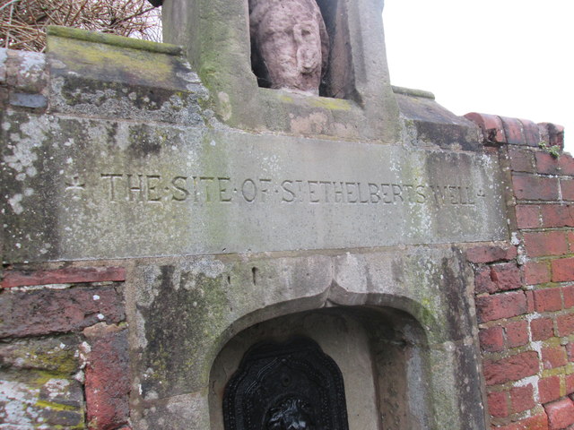
Image: © Fabian Musto Taken: 10 Mar 2018
A close-up of St. Ethelbert's Well, showing the text on the plaque. The title says it all.
Images are licensed for reuse under creativecommons.org/licenses/by-sa/2.0
Image Location
Latitude
52.053428
Longitude
-2.714257