Springhill Road at Bouverie
Introduction
The photograph on this page of Springhill Road at Bouverie by Thomas Nugent as part of the Geograph project.
The Geograph project started in 2005 with the aim of publishing, organising and preserving representative images for every square kilometre of Great Britain, Ireland and the Isle of Man.

There are currently over 7.5m images from over 14,400 individuals and you can help contribute to the project by visiting https://www.geograph.org.uk
Springhill Road at Bouverie
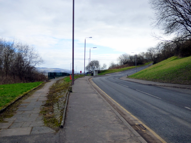
Image: © Thomas Nugent Taken: 26 Feb 2018
See the same scene before the Bouverie tenement was demolished Image
Images are licensed for reuse under creativecommons.org/licenses/by-sa/2.0
Image Location


Leaflet Map data © OpenStreetMap
Latitude
55.932362
Longitude
-4.684942