Nigg Bay
Introduction
The photograph on this page of Nigg Bay by Anne Burgess as part of the Geograph project.
The Geograph project started in 2005 with the aim of publishing, organising and preserving representative images for every square kilometre of Great Britain, Ireland and the Isle of Man.

There are currently over 7.5m images from over 14,400 individuals and you can help contribute to the project by visiting https://www.geograph.org.uk
Nigg Bay
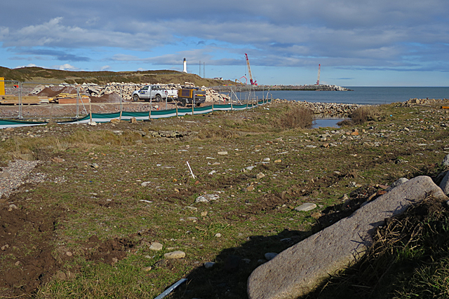
Image: © Anne Burgess Taken: 9 Mar 2018
Not a very alluring view, really. But make the most of it, because in a couple of years' time this will all be smothered by acres of concrete. See http://www.ahep.co.uk/project.aspx. One of the security guards assured me that it would all be much nicer when it is completed.
Images are licensed for reuse under creativecommons.org/licenses/by-sa/2.0
Image Location
Latitude
57.13311
Longitude
-2.058629