Megamolehills
Introduction
The photograph on this page of Megamolehills by Anne Burgess as part of the Geograph project.
The Geograph project started in 2005 with the aim of publishing, organising and preserving representative images for every square kilometre of Great Britain, Ireland and the Isle of Man.

There are currently over 7.5m images from over 14,400 individuals and you can help contribute to the project by visiting https://www.geograph.org.uk
Megamolehills
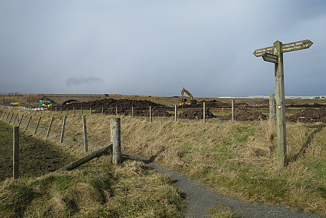
Image: © Anne Burgess Taken: 9 Mar 2018
At least, that's what the diggers seem to be building beside the path. At left is the bridge under the railway, and some of the buildings in Altens Industrial Estate are on the right.
Images are licensed for reuse under creativecommons.org/licenses/by-sa/2.0
Image Location
Latitude
57.116939
Longitude
-2.061906