Bassingbourn: historic houses on South End
Introduction
The photograph on this page of Bassingbourn: historic houses on South End by John Sutton as part of the Geograph project.
The Geograph project started in 2005 with the aim of publishing, organising and preserving representative images for every square kilometre of Great Britain, Ireland and the Isle of Man.

There are currently over 7.5m images from over 14,400 individuals and you can help contribute to the project by visiting https://www.geograph.org.uk
Bassingbourn: historic houses on South End
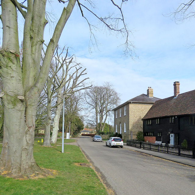
Image: © John Sutton Taken: 9 Mar 2018
South End House’s brick façade of c 1810 conceals a 17th-century timber-framed farmhouse. The weatherboarded buildings are also Grade II listed (see https://www.britishlistedbuildings.co.uk/101309186-barns-coach-house-bakehouse-and-maltings-circa-5-metres-south-of-number-29-south-end-house-bassingbourn-cum-kneesworth#.WqK2-CiT7Za ).
Images are licensed for reuse under creativecommons.org/licenses/by-sa/2.0
Image Location
Latitude
52.075287
Longitude
-0.057711