Litlejohn's Coal Yard
Introduction
The photograph on this page of Litlejohn's Coal Yard by Roger A Smith as part of the Geograph project.
The Geograph project started in 2005 with the aim of publishing, organising and preserving representative images for every square kilometre of Great Britain, Ireland and the Isle of Man.

There are currently over 7.5m images from over 14,400 individuals and you can help contribute to the project by visiting https://www.geograph.org.uk
Litlejohn's Coal Yard
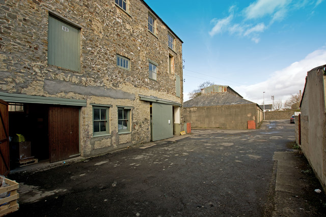
Image: © Roger A Smith Taken: 8 Mar 2018
This site has known collars, flour and coal and will soon become domestic dwellings. The building furthest away does not appear on an 1880 map so may not have been part of the collar works.
Images are licensed for reuse under creativecommons.org/licenses/by-sa/2.0
Image Location
Latitude
51.020701
Longitude
-4.211484