Path down Meldon Hill
Introduction
The photograph on this page of Path down Meldon Hill by Derek Harper as part of the Geograph project.
The Geograph project started in 2005 with the aim of publishing, organising and preserving representative images for every square kilometre of Great Britain, Ireland and the Isle of Man.

There are currently over 7.5m images from over 14,400 individuals and you can help contribute to the project by visiting https://www.geograph.org.uk
Path down Meldon Hill
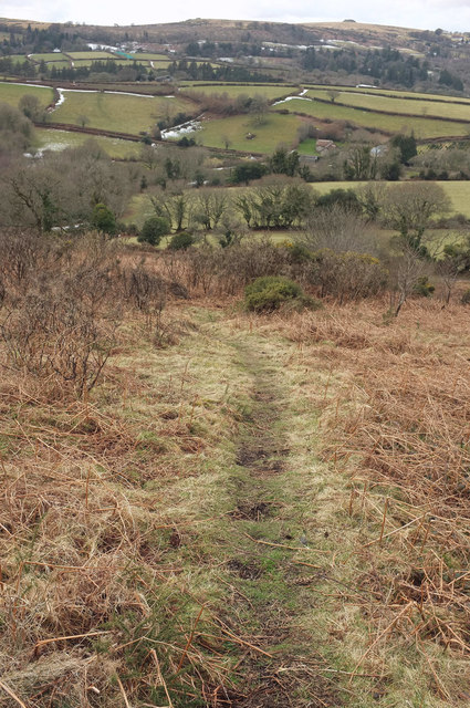
Image: © Derek Harper Taken: 6 Mar 2018
Looking in the opposite direction from where Image] to where Image] was taken. Off the open moor, lines of snow linger beside field boundaries. On the skyline to the right is Kestor.
Images are licensed for reuse under creativecommons.org/licenses/by-sa/2.0
Image Location
Latitude
50.659439
Longitude
-3.854742