Path and trees at edge of play area in Stanhope
Introduction
The photograph on this page of Path and trees at edge of play area in Stanhope by Trevor Littlewood as part of the Geograph project.
The Geograph project started in 2005 with the aim of publishing, organising and preserving representative images for every square kilometre of Great Britain, Ireland and the Isle of Man.

There are currently over 7.5m images from over 14,400 individuals and you can help contribute to the project by visiting https://www.geograph.org.uk
Path and trees at edge of play area in Stanhope
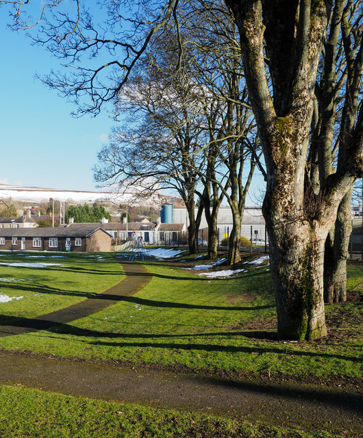
Image: © Trevor Littlewood Taken: 8 Mar 2018
To the left of the path is a grassed area with housing on three sides. Blue-painted swings can be seen at the apparent end of the path.
Images are licensed for reuse under creativecommons.org/licenses/by-sa/2.0
Image Location


Leaflet Map data © OpenStreetMap
Latitude
54.743444
Longitude
-2.002764