All Saints Close, Millbrook
Introduction
The photograph on this page of All Saints Close, Millbrook by J W Parker as part of the Geograph project.
The Geograph project started in 2005 with the aim of publishing, organising and preserving representative images for every square kilometre of Great Britain, Ireland and the Isle of Man.

There are currently over 7.5m images from over 14,400 individuals and you can help contribute to the project by visiting https://www.geograph.org.uk
All Saints Close, Millbrook
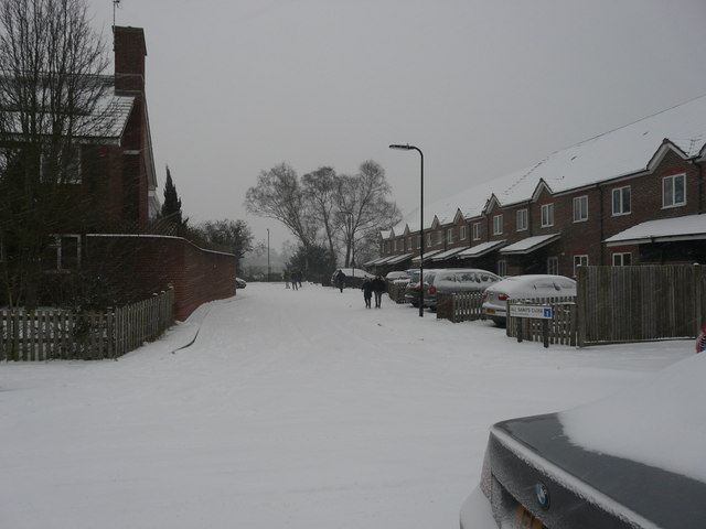
Image: © J W Parker Taken: 1 Mar 2018
This close was built in place of the large vicarage which also had a large garden; the vicarage is now where the REME hut local library used to be.
Images are licensed for reuse under creativecommons.org/licenses/by-sa/2.0
Image Location
Latitude
50.926829
Longitude
-1.462967