Cullompton: Lower Mill Lane
Introduction
The photograph on this page of Cullompton: Lower Mill Lane by Martin Bodman as part of the Geograph project.
The Geograph project started in 2005 with the aim of publishing, organising and preserving representative images for every square kilometre of Great Britain, Ireland and the Isle of Man.

There are currently over 7.5m images from over 14,400 individuals and you can help contribute to the project by visiting https://www.geograph.org.uk
Cullompton: Lower Mill Lane
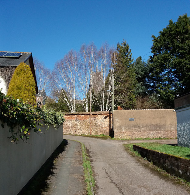
Image: © Martin Bodman Taken: 7 Mar 2018
With the tower of St Andrew's church largely hidden behind the trees
Images are licensed for reuse under creativecommons.org/licenses/by-sa/2.0
Image Location


Leaflet Map data © OpenStreetMap
Latitude
50.854584
Longitude
-3.390215