Nant-y-rhaglaw
Introduction
The photograph on this page of Nant-y-rhaglaw by Jonathan Wilkins as part of the Geograph project.
The Geograph project started in 2005 with the aim of publishing, organising and preserving representative images for every square kilometre of Great Britain, Ireland and the Isle of Man.

There are currently over 7.5m images from over 14,400 individuals and you can help contribute to the project by visiting https://www.geograph.org.uk
Nant-y-rhaglaw
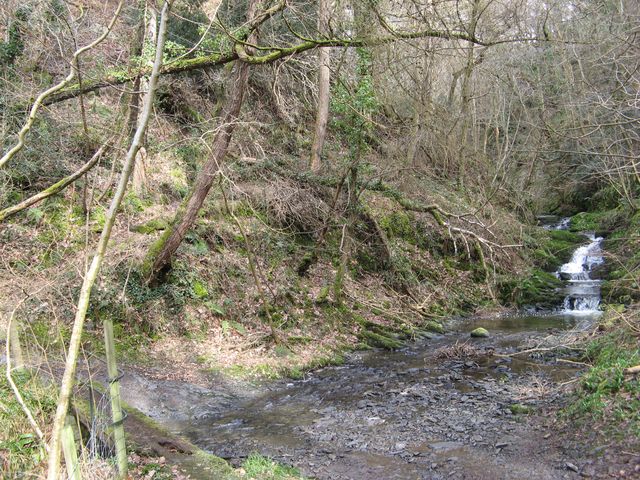
Image: © Jonathan Wilkins Taken: 7 Mar 2018
At this point the steep descent of the stream levels-off and a ford is possible. This is a fascinating, historic byway in use as a farm road carrying a public footpath through peaceful woodlands with birdsong and falling water the only sounds.
Images are licensed for reuse under creativecommons.org/licenses/by-sa/2.0
Image Location
Latitude
53.21809
Longitude
-3.771995