Track bridge, Ashridge Estate
Introduction
The photograph on this page of Track bridge, Ashridge Estate by Rob Farrow as part of the Geograph project.
The Geograph project started in 2005 with the aim of publishing, organising and preserving representative images for every square kilometre of Great Britain, Ireland and the Isle of Man.

There are currently over 7.5m images from over 14,400 individuals and you can help contribute to the project by visiting https://www.geograph.org.uk
Track bridge, Ashridge Estate
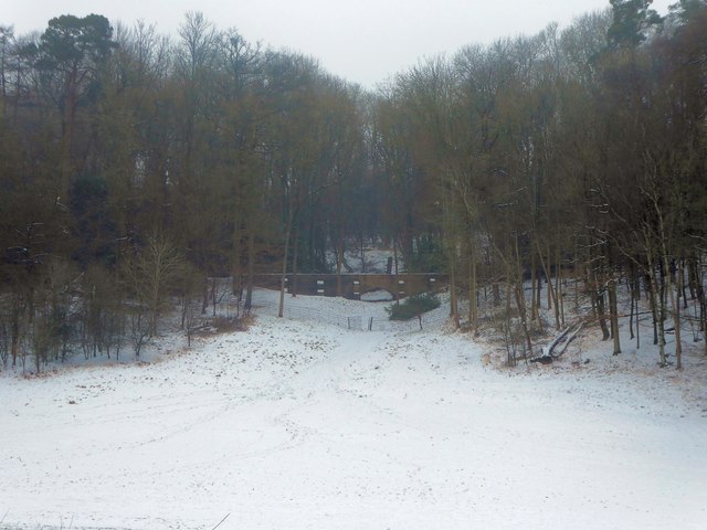
Image: © Rob Farrow Taken: 3 Mar 2018
The bridge seen at the centre of this image carries a track which runs through Cromer Wood in Ashridge Estate. Presumably the bridge is required to span a stream, drain or other obstacle, but in this weather no watercourse can be discerned.
Images are licensed for reuse under creativecommons.org/licenses/by-sa/2.0
Image Location
Latitude
51.803067
Longitude
-0.554883