Greville Smyth Park, Ashton Gate
Introduction
The photograph on this page of Greville Smyth Park, Ashton Gate by Eirian Evans as part of the Geograph project.
The Geograph project started in 2005 with the aim of publishing, organising and preserving representative images for every square kilometre of Great Britain, Ireland and the Isle of Man.

There are currently over 7.5m images from over 14,400 individuals and you can help contribute to the project by visiting https://www.geograph.org.uk
Greville Smyth Park, Ashton Gate
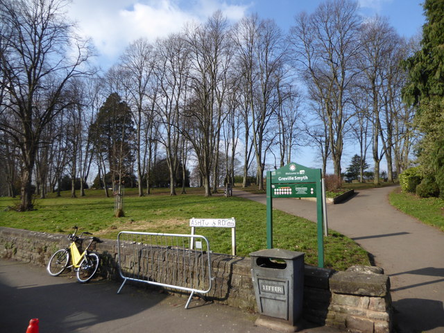
Image: © Eirian Evans Taken: 22 Feb 2018
The park is at the junction between Ashton Road and North Street at Bedminster. The site was given to the Bristol City Corporation for use as a public park by Greville Smyth of Ashton Court on July 31st, 1883. It was laid out and landscaped by the Corporation at a cost of £5,000. After Greville Smyth's death in 1902, a further four acres of land was given to the Corporation by Lady Smyth, and the park was named in honour of her deceased husband. The park is a broadly triangular patch of grounds laid out in the typical style of the late 19th century municipal park. It is mostly open grassland but has isolated trees and more dense informal plantings of trees in the eastern corner of the park. There are paved footpaths running through the park. There is also a playground for children and a bowling green and tennis courts for adults.
Images are licensed for reuse under creativecommons.org/licenses/by-sa/2.0
Image Location
Latitude
51.44293
Longitude
-2.618071