Farmland between High Pond House and Low Pond House
Introduction
The photograph on this page of Farmland between High Pond House and Low Pond House by Christine Johnstone as part of the Geograph project.
The Geograph project started in 2005 with the aim of publishing, organising and preserving representative images for every square kilometre of Great Britain, Ireland and the Isle of Man.

There are currently over 7.5m images from over 14,400 individuals and you can help contribute to the project by visiting https://www.geograph.org.uk
Farmland between High Pond House and Low Pond House
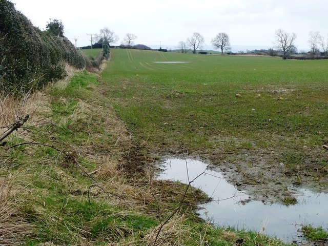
Image: © Christine Johnstone Taken: 26 Feb 2018
The hedge is a civil parish boundary, as well as a field boundary. This side [south] is Thornton Watlass, the other unseen side is Burrill with Cowling.
Images are licensed for reuse under creativecommons.org/licenses/by-sa/2.0
Image Location
Latitude
54.282677
Longitude
-1.666973