River House, Belfast (September 2007)
Introduction
The photograph on this page of River House, Belfast (September 2007) by Albert Bridge as part of the Geograph project.
The Geograph project started in 2005 with the aim of publishing, organising and preserving representative images for every square kilometre of Great Britain, Ireland and the Isle of Man.

There are currently over 7.5m images from over 14,400 individuals and you can help contribute to the project by visiting https://www.geograph.org.uk
River House, Belfast (September 2007)
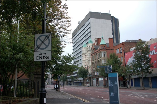
Image: © Albert Bridge Taken: 30 Sep 2007
River House, in High Street, was built in the early 70’s. The land had been vacant since WWII when much of High Street was flattened by the Luftwaffe. This had been (I think) the last remaining Blitz site in central Belfast.
Images are licensed for reuse under creativecommons.org/licenses/by-sa/2.0
Image Location
Latitude
54.600403
Longitude
-5.926357