Harthope
Introduction
The photograph on this page of Harthope by Trevor Littlewood as part of the Geograph project.
The Geograph project started in 2005 with the aim of publishing, organising and preserving representative images for every square kilometre of Great Britain, Ireland and the Isle of Man.

There are currently over 7.5m images from over 14,400 individuals and you can help contribute to the project by visiting https://www.geograph.org.uk
Harthope
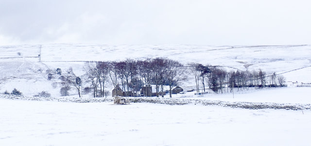
Image: © Trevor Littlewood Taken: 27 Feb 2018
Harthope is an isolated house with outbuildings south of Wolsingham, largely surrounded by moorland; it's seen here from an estate road which is also the access route for the property.
Images are licensed for reuse under creativecommons.org/licenses/by-sa/2.0
Image Location


Leaflet Map data © OpenStreetMap
Latitude
54.707548
Longitude
-1.90235