Wrea Green
Introduction
The photograph on this page of Wrea Green by Malcolm Neal as part of the Geograph project.
The Geograph project started in 2005 with the aim of publishing, organising and preserving representative images for every square kilometre of Great Britain, Ireland and the Isle of Man.

There are currently over 7.5m images from over 14,400 individuals and you can help contribute to the project by visiting https://www.geograph.org.uk
Wrea Green
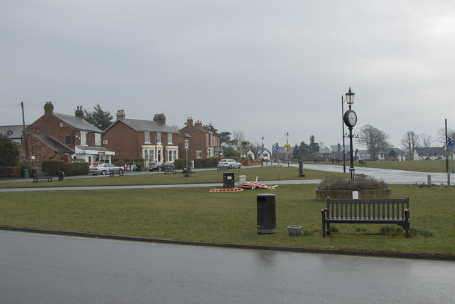
Image: © Malcolm Neal Taken: 4 Mar 2018
Wrea Green is the village but it does have a very large village green the very edge of which you can see. The majority of it stretches away to the right beyond the second road in the middle distance.
Images are licensed for reuse under creativecommons.org/licenses/by-sa/2.0
Image Location
Latitude
53.775791
Longitude
-2.915863