Pant-yr-Ynn from the No2 pitch of the Graig Ddu incline
Introduction
The photograph on this page of Pant-yr-Ynn from the No2 pitch of the Graig Ddu incline by Eric Jones as part of the Geograph project.
The Geograph project started in 2005 with the aim of publishing, organising and preserving representative images for every square kilometre of Great Britain, Ireland and the Isle of Man.

There are currently over 7.5m images from over 14,400 individuals and you can help contribute to the project by visiting https://www.geograph.org.uk
Pant-yr-Ynn from the No2 pitch of the Graig Ddu incline
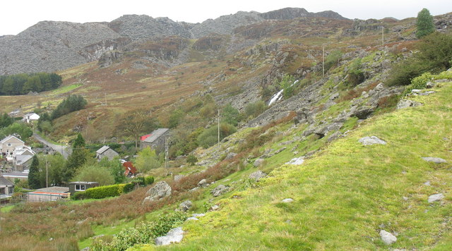
Image: © Eric Jones Taken: 28 Sep 2007
Pant-yr-Ynn means "Hollow of the ash (trees)" The former Pant-yr-Ynn slate and, later, woollen mill stands below the waterfall. Image
Images are licensed for reuse under creativecommons.org/licenses/by-sa/2.0
Image Location


Leaflet Map data © OpenStreetMap
Latitude
52.990058
Longitude
-3.924895