Honeybourne Line footpath & cycleway, Cheltenham
Introduction
The photograph on this page of Honeybourne Line footpath & cycleway, Cheltenham by Jaggery as part of the Geograph project.
The Geograph project started in 2005 with the aim of publishing, organising and preserving representative images for every square kilometre of Great Britain, Ireland and the Isle of Man.

There are currently over 7.5m images from over 14,400 individuals and you can help contribute to the project by visiting https://www.geograph.org.uk
Honeybourne Line footpath & cycleway, Cheltenham
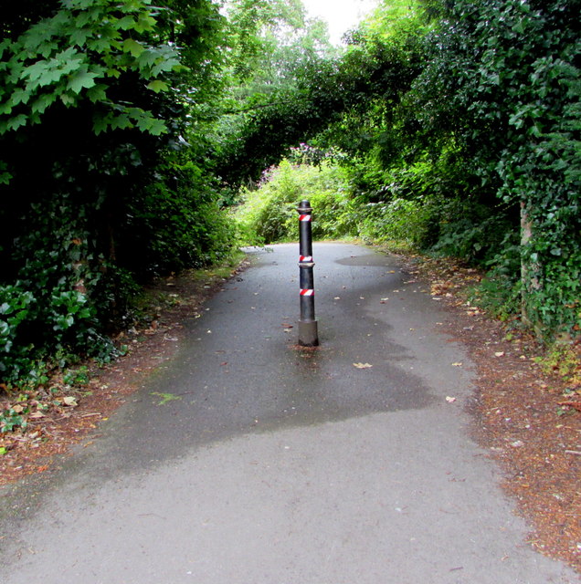
Image: © Jaggery Taken: 29 Jul 2017
The path heads away from this https://www.geograph.org.uk/photo/5697871 pedestrian crossing to Cheltenham Spa railway station. A nearby sign https://www.geograph.org.uk/photo/5697876 shows Town Centre 1 (mile), Leisure@Cheltenham 2.
Images are licensed for reuse under creativecommons.org/licenses/by-sa/2.0
Image Location


Leaflet Map data © OpenStreetMap
Latitude
51.896686
Longitude
-2.099211