High Kingsdown, Bristol
Introduction
The photograph on this page of High Kingsdown, Bristol by Eirian Evans as part of the Geograph project.
The Geograph project started in 2005 with the aim of publishing, organising and preserving representative images for every square kilometre of Great Britain, Ireland and the Isle of Man.

There are currently over 7.5m images from over 14,400 individuals and you can help contribute to the project by visiting https://www.geograph.org.uk
High Kingsdown, Bristol
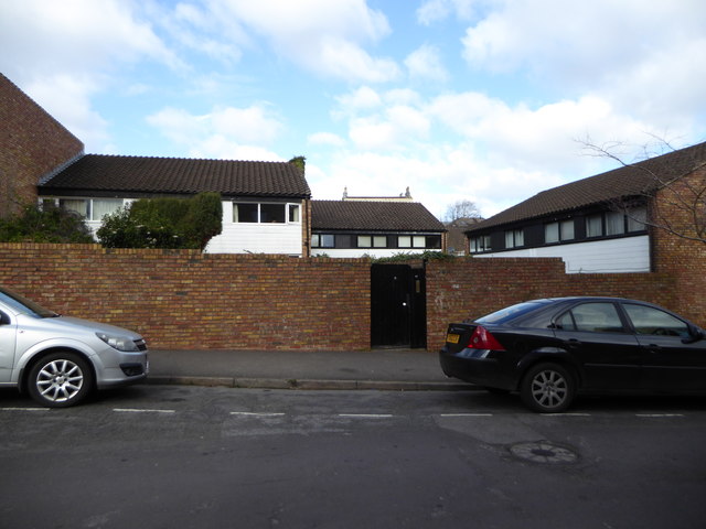
Image: © Eirian Evans Taken: 20 Feb 2018
High Kingsdown was a prize-winning 1974 housing scheme attempting to combine high density, low rise and privacy, There are over 100 houses, with a village green - "The Square" in the middle and a pub, the King's Arms.
Images are licensed for reuse under creativecommons.org/licenses/by-sa/2.0
Image Location
Latitude
51.461819
Longitude
-2.599469