Alternative route direction sign, Upper St John Street, Lichfield
Introduction
The photograph on this page of Alternative route direction sign, Upper St John Street, Lichfield by Jaggery as part of the Geograph project.
The Geograph project started in 2005 with the aim of publishing, organising and preserving representative images for every square kilometre of Great Britain, Ireland and the Isle of Man.

There are currently over 7.5m images from over 14,400 individuals and you can help contribute to the project by visiting https://www.geograph.org.uk
Alternative route direction sign, Upper St John Street, Lichfield
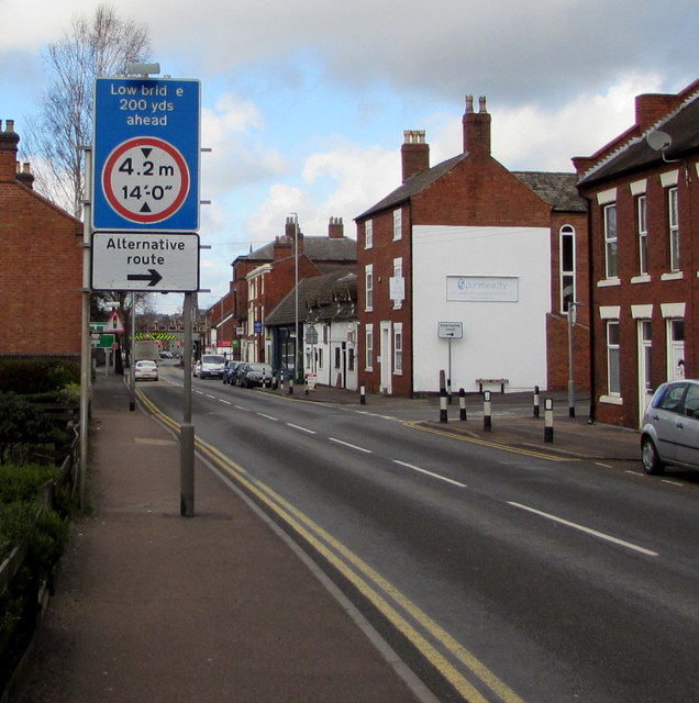
Image: © Jaggery Taken: 17 Feb 2018
Vehicles too high for the 4.2m/14' headroom bridges 200 yards ahead can turn right into Cherry Orchard https://www.geograph.org.uk/photo/5697087 for an alternative route.
Images are licensed for reuse under creativecommons.org/licenses/by-sa/2.0
Image Location
Latitude
52.677763
Longitude
-1.825429