The King's Drive closed
Introduction
The photograph on this page of The King's Drive closed by Derek Harper as part of the Geograph project.
The Geograph project started in 2005 with the aim of publishing, organising and preserving representative images for every square kilometre of Great Britain, Ireland and the Isle of Man.

There are currently over 7.5m images from over 14,400 individuals and you can help contribute to the project by visiting https://www.geograph.org.uk
The King's Drive closed
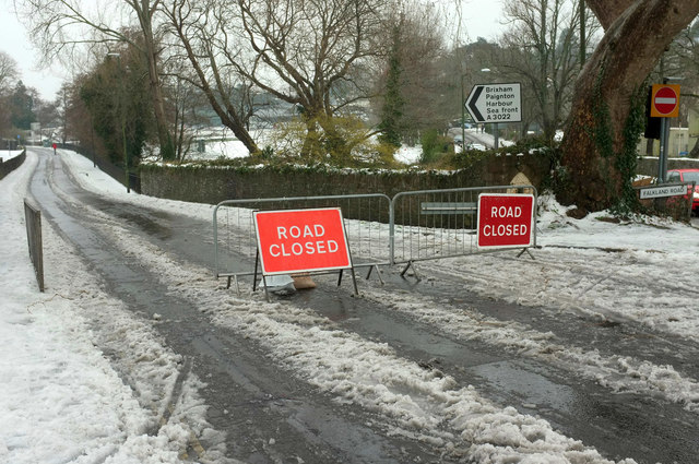
Image: © Derek Harper Taken: 2 Mar 2018
Flooding caused chaos earlier in the day on Torquay seafront https://www.devonlive.com/news/devon-news/cars-washed-away-storm-emma-1287938 , hence the road closure.
Images are licensed for reuse under creativecommons.org/licenses/by-sa/2.0
Image Location
Latitude
50.464519
Longitude
-3.542188